Going straight
 Google Maps

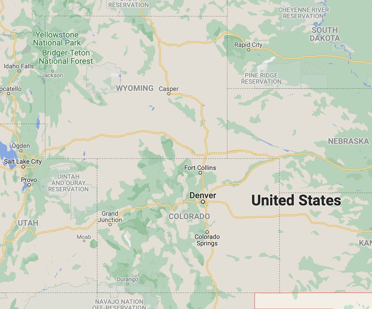
While looking at Oklahoma, for no apparent reason, I noticed that the states of Colorado and Wyoming appear to be perfect rectangles—apart from the odd slight wobble here and there, if you zoom in enough. Presumably, their borders were defined not so much by natural geological and geographical characteristics, but by simply drawing straight lines on a map.
This is not to say that they're featureless. But I'll hazard a guess that crossing the border is hardly a momentous occasion…unless state police are in hot pursuit.